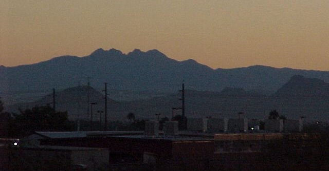
I must tell you, Gentle Reader, that 5:30 a.m Scottsdale was 41 degrees. It felt much colder! At dinner that evening, I thought of suggesting to Steve we sleep in--but to climb South Mtn and be back, we'd have to leave saddle up early!
The Superstitions to the east of us--just at sun up.
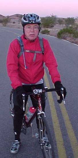
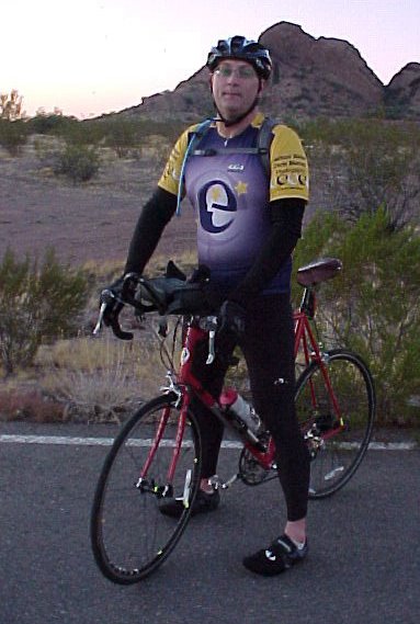
Papago Park at 6:30 a.m. Steve always enjoys it when I say I want to stop for a photo op--and its freezing!
Sun is up and its still cold--how much longer until breakfast? Oh yeah, the pictures of the rock formations didn't come out very good--oh well...

I-Hop. We've ridden about 35 miles down into Tempe thru the ASU campus. Its about 7 a.m. and still pretty dang cold. Service was kind of slow this morning, and we ended up being there about 45 minutes instead of our usual 25. That's okay--I needed to warm up and wake up--the next leg of our journey is going to take us South and then West to the Gila River Indian Reservation.

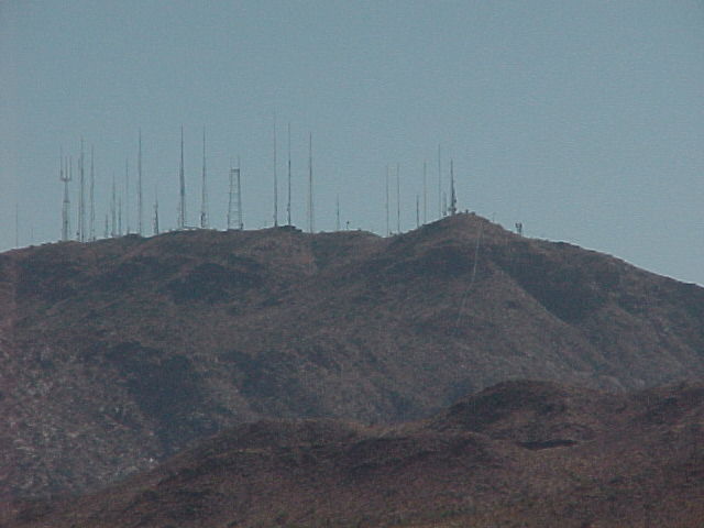
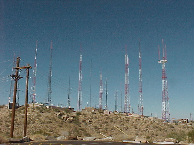
We're on the Maricopa Hwy heading West, and we're South of the Mtn. As I drove in Friday night to Scottsdale, I could see the TV tower lights on top of South Mtn.

Here are the mountains on the Rez as we've been heading West. We've just turned North and have about 10 or 15 miles to the base of South Mtn.
Thru the pastoral cotton fields and ranches near the little town of Gaudalupe, AZ. Kind of a quaint area--seems pretty friendly, and has a flavor of Mexico.
Steve and I stop at Circle K to shed our arm and leg warmers. I snapped this right before we're about to enter the State Park.
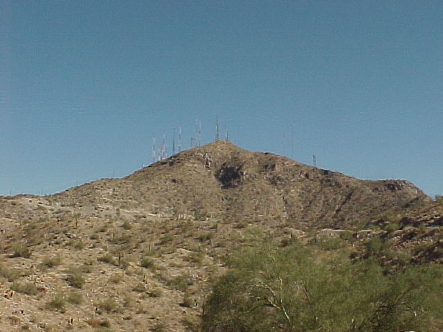
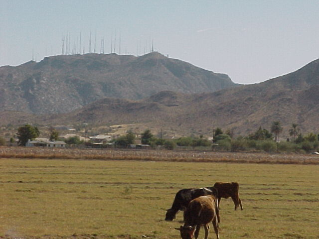
Starting up Summit Road. The pavement is brand new and traffic is light. About 7.5 miles to go, mes amis!
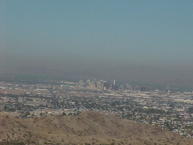
Phoenix to the North as we start the climb... As we near the top and the last two miles, the gate was closed and a sign said there was a special event going on. Bummer--just two more miles. But then some parasailing guys drove up and let us in--sweet!
We made it to the top.
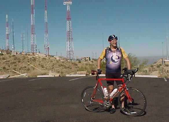
It was like we had the whole place to ourselves. From here we could see most of our route, which is about a 116 mile loop.
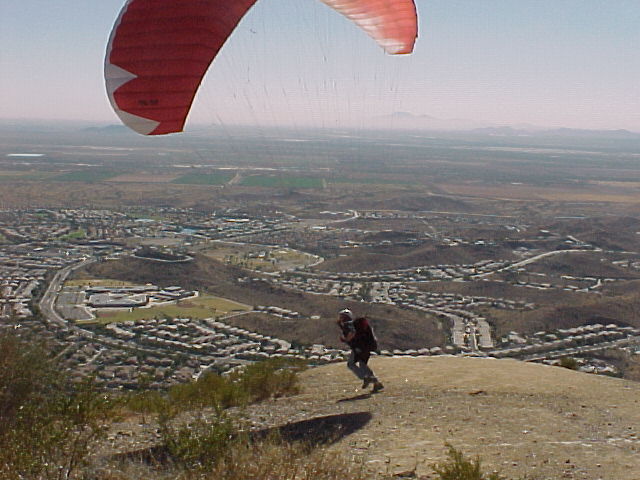
Parasailing on the top. These fellows run of the cliff--
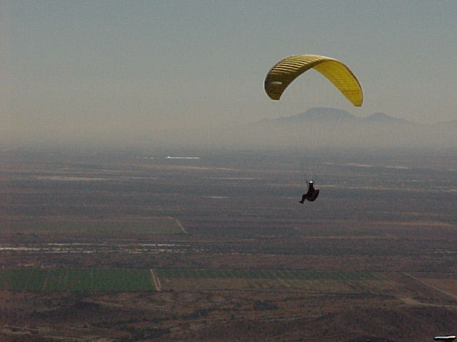
We couldn't see where they were landing exactly, but the other guys would start down the road to fetch them--then they'd drive back up and jump off again. Looked very dangerous, and you would not want to crash on the side of the mountain--the rocks are sharp and I'm sure the cactus would be unforgiving.

A quick photo op at the old Ranger Station. Steve's pretty happy with his new bike--
on to lunch!
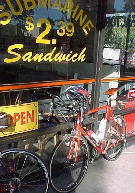
Lunch in Paradise Valley at Steve's favorite sandwhich shop. Steve and the owner are friends. Its a good stop and a good place to fill up with water and ice. I like their pastromi sandwhich best...

Paradise Valley and Scottsdale--what used to be farms and orange groves--now swank digs for the rich.
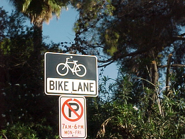
Scottsdale bike lane. Stay in the bike lane or get run over by a Jag!

In the heart of Scottsdale. This here's Camelback Peak ya'll--talkin high dollar spreads now.
Well, what can I say? Except for freezing our asses off in the wee hours of the morning--this was a great ride, and a good time. The weather was perfect, and we rode without any problems.
Drank a few beers at Steve's house, took a shower and took a nap for about 30 minutes--so I wouldn't fall asleep on the drive back to Tucson.
Allure Libre!
No comments:
Post a Comment