Friday, December 30, 2005

I have the flu


I'm socked in with the flu if you all must know.

I usually never get sick and enjoy good health--so when the flu gets me and I have to stay in bed--well you know its a big bad flu bug. I usually get the flu shot at the hospital near where I work, but although I know the medical folks and think they're great--I don't like being treated like a piece of meat when they have the anual "Come and get It--a thon" Wait in line, some short stocky sweaty nurse with a mustache on her upper lip jabs you with a needle. At that time, they really treat you horrible (in my humble opinion) and I'm made to feel less than human.

So Sweaty Betty Nurse Lady didn't give me a shot--I'm sick and it sucks.

Actually I didn't get a flu shot because they said there would be a shortage of shots. Maybe somebody else needed it more than me. Hey, I'm a big strong boy, and I can take it--yeah I might get sick but not too sick... I 'll bounce back.

Its just not fair to be sick on the holidays--in Tucson--its beautful outside--I have four days off--

I'VE GOT THE FLU !!! ? Why? O! Why?

Pls send happy thoughts so I can drag my big bad self outta bed! Pls!

Allure Libre!

Tuesday, December 27, 2005

Park Line Ride


I've had this burning desire to traverse Park Line Rd, since last year's brevets. This Road is an East to West road that connects Interstate 10 to Hwy 79. Its just a road that has intrigued me because from the maps and satellite photos I've poured over while looking at brevet routes, there seems to be nothing out there but open desert.

Futher still, I often have talked to this old guy that comes into my library, and he's kind of a history and archeology buff. Much of the brevet route we take between Tucson and Casa Grande is the old stage coach line from the 1870s. I mentioned this Park Line Rd, and like the Ancient Mariner, he warned me to beware of this road and what I might find--drug dealers and other foes may use this area to plot their evil deeds, run guns, transport drugs, etc.

O! I can't wait for this adventure to begin!


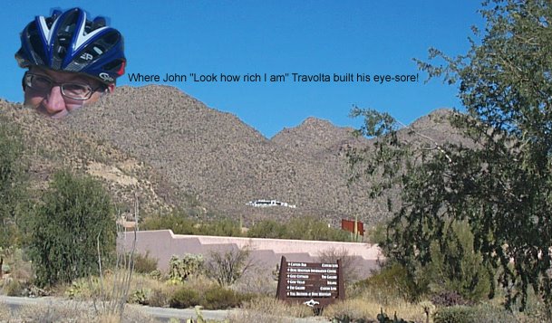
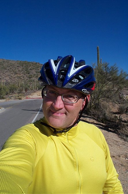
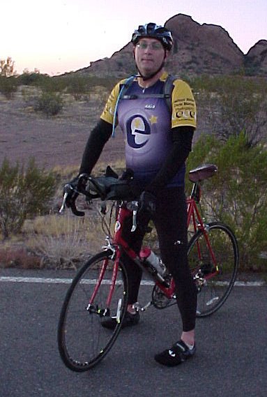
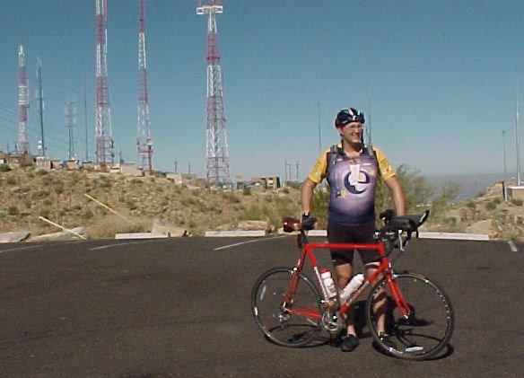
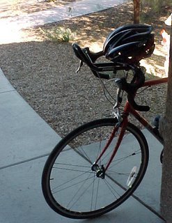
I'm right here at Tangerine Rd and the I-10 Frontage Rd. These are the Tortilita Mts and I live up there in a swank neighborhood called Dove Mountain! Called Dog Mountain by my jealous friends! Any way, this photo has me about 7 miles west of chez moi and I'm getting ready to head North on the Frontage Rd.


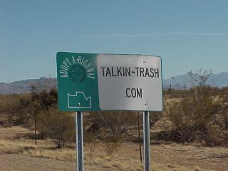
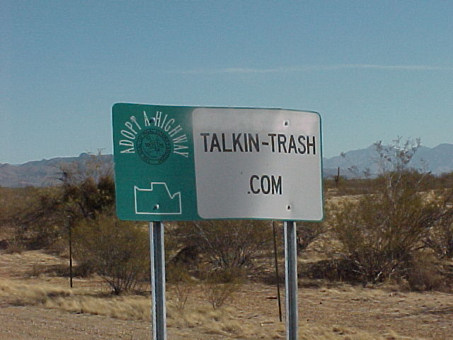
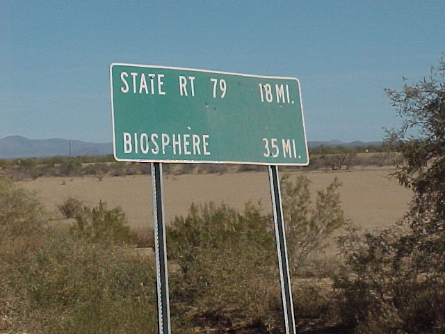
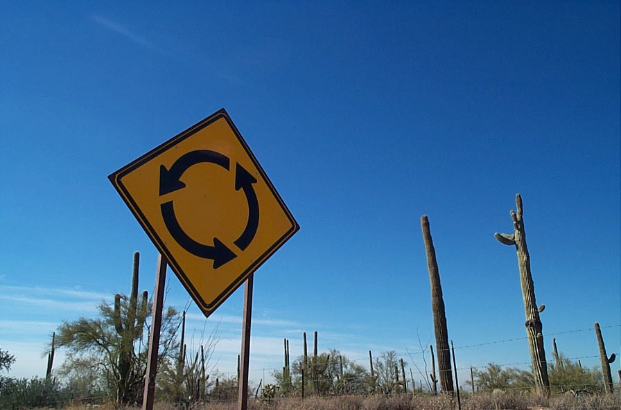
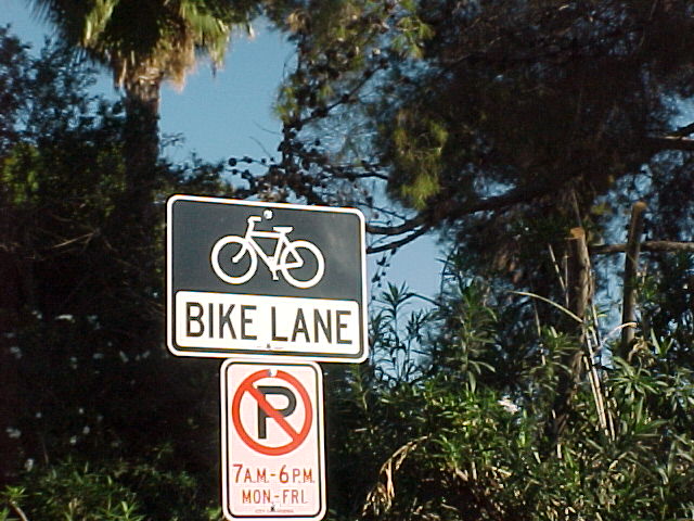
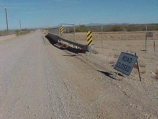
I went down a road called Missle Rd. because I'm not exactly sure where Park Line Rd really is--except that its a few miles North--or South of Red Rock, AZ. This sign greeted me after a few hundred yards. Maybe I'll explore this road some other time.


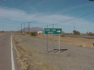
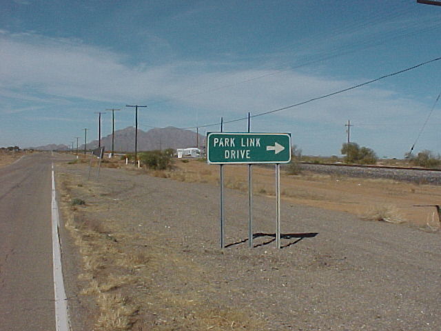
So here is the road sign. Funny but it was farther North than I thought.

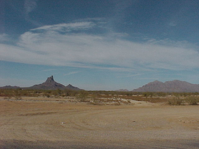
Picacho Peak West on the other side of where I'm standing. The stage coach stop I'm told was right there at the Dairy Queen, then headed West on to San Fransisco. I've ridden 22 miles from Dove Mtn to this point.


18 miles! Hey that's not so bad, and this is the rigth road for sure.


The point of no return, mes amis! And as I was putting the camera away, two State Troopers roared past very fast. A sign of things to come? Danger--or maybe Donuts--I guess I'm soon find out!


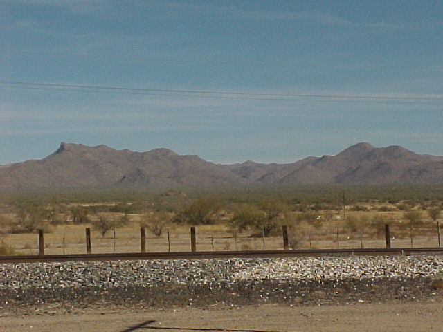
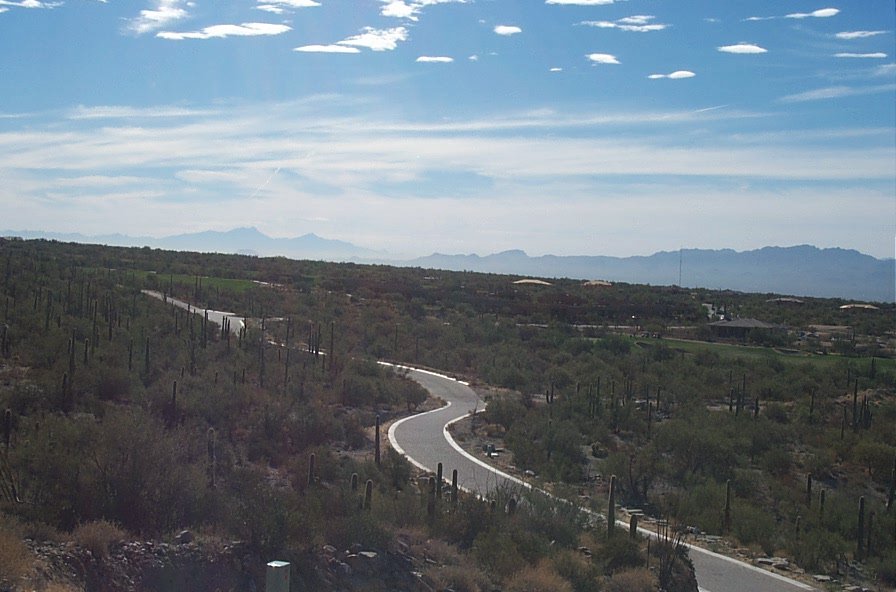
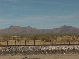
There is nothing out here... By the looks of it, major development will start around here. I road past hundreds of piles of bulldozed saguaro and Palo Verde and mesquite trees. It was a little sad really...


The desert out here is hot and dry, even in late December.


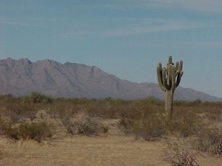
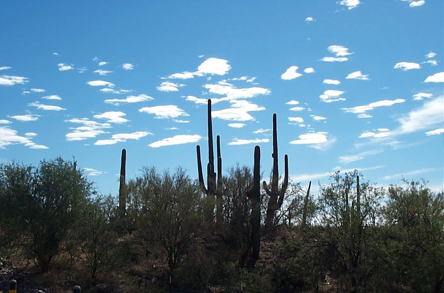
Only the occasional saguro...


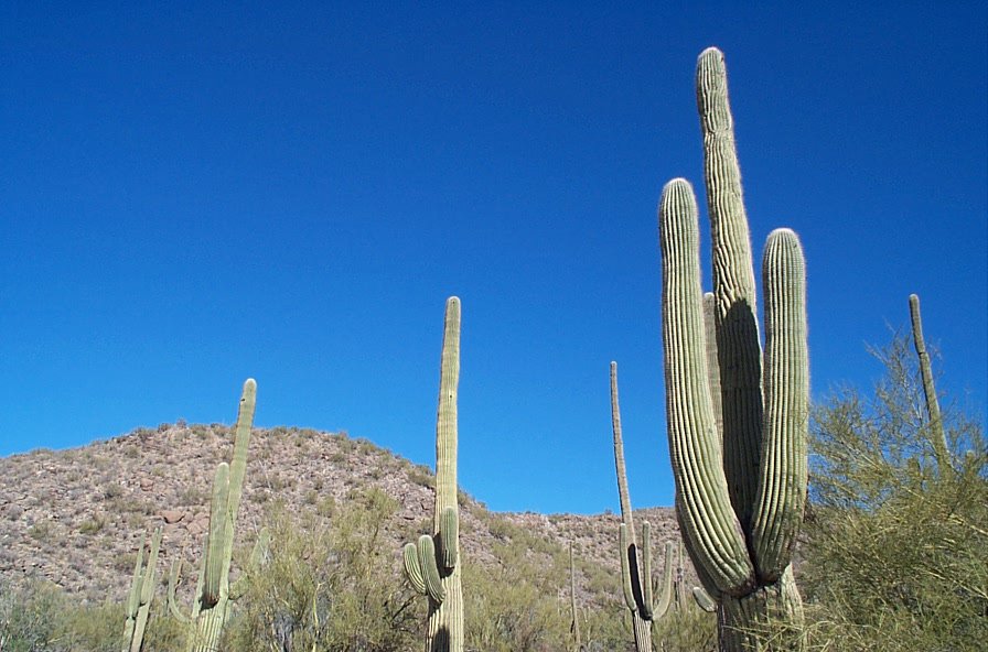
But that changes soon. I actually start a gradual climb and I realize that I'm on the North side of the Tortilita Mts. It's still hot and dry, but there are hundreds of thousands of saguro as far as the eye can see!


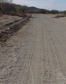
The dirt road seems to follow the natural curve of the land, and follows a wash. I had to dis-mount a few times when the road was too sandy.


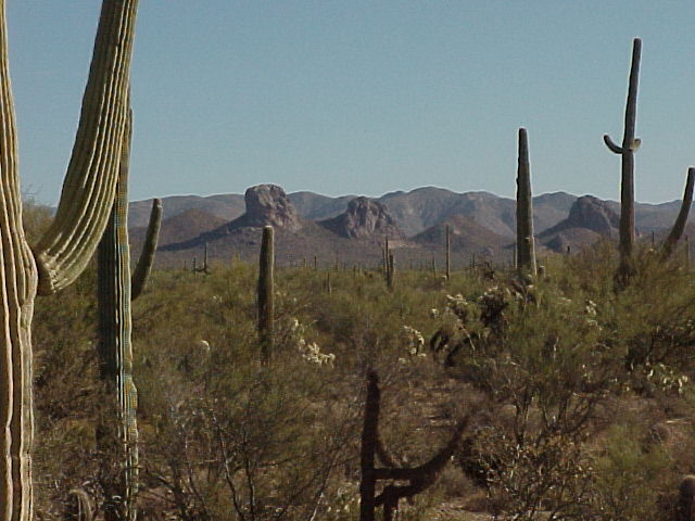
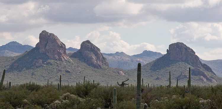
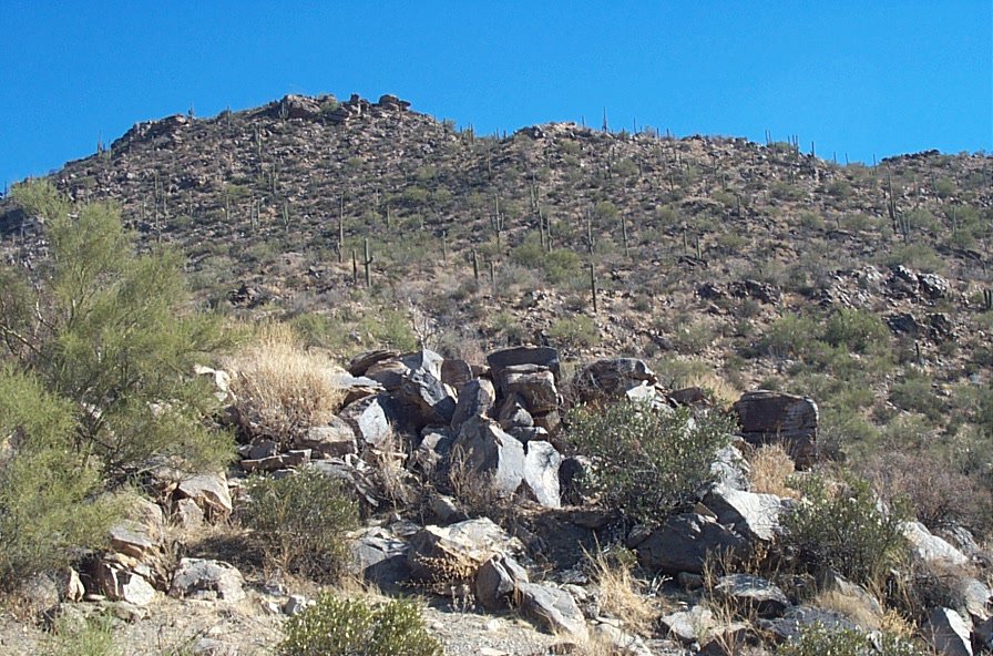
The other side of the Mountain. I believe that Owl Head Ranch is over by these huge rocks. You can't tell by the photos, but the desert out here is awesome, and the rock formations stately. As I continued East, and the the light changed, the two rock formations on the left start to look like two huge owl's ears, and it really does look like a gigantic owl's head--difficult to really get a good photo because the vegitation is so thick, and it seems the road pretty much is in a low-lying wash.


The road is still dirt, but now packed much harder. I can see signs of big construction trucks that have been on the move. Developement doesn't seem far away because the place is so beautiful. I must be getting close to Hwy 79.


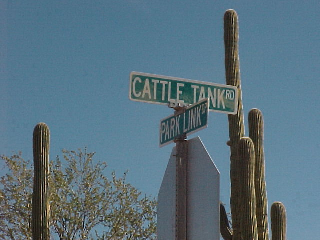
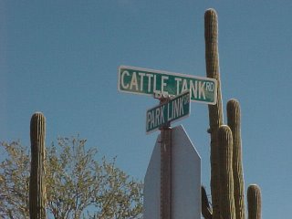
This is looking South down Cattle Tank Rd. There's probably a major developement starting out this way. Next time I should ride down and see what's up. Maybe I'll find the secret Swedish Bikini Team training camp out here!


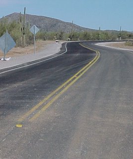
The start of the new paved road. This means that Hwy 79 can't be far--actually its 7 more miles!


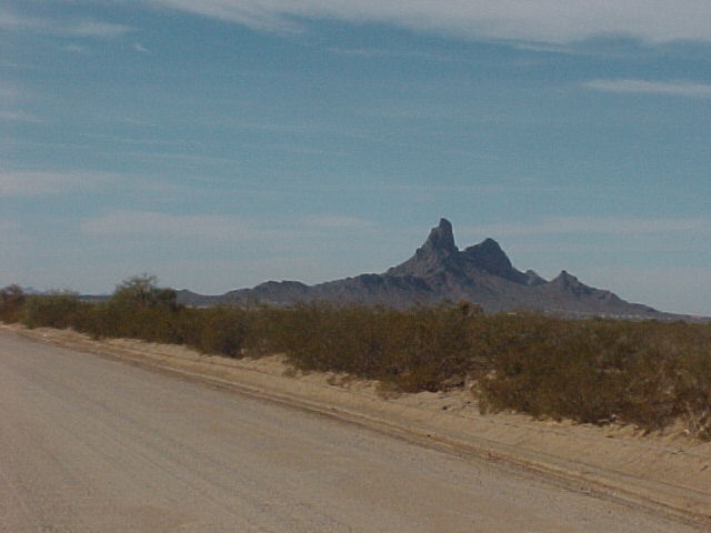
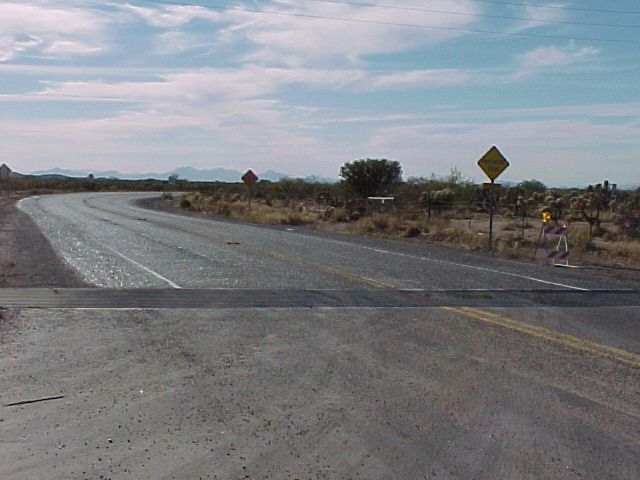
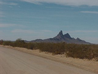
Looking West on Park Line Rd., Picacho Peak is about 12 or 13 miles away. There is still nothing out here for miles. I've seen no ranches or houses whatsoever. Much of this land must be State Trust Land--for now.


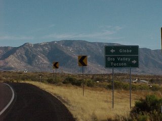
This is the end of Park Line Rd. I'm right here where it intersects Hwy 79. A sign at the cattle guard said paved road ends 7 miles. That last seven miles by the way was a pretty tough climb to this point.


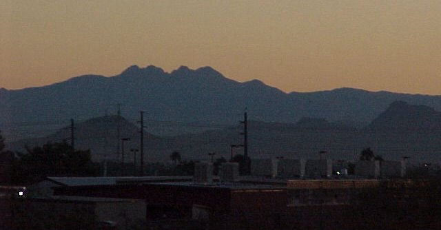
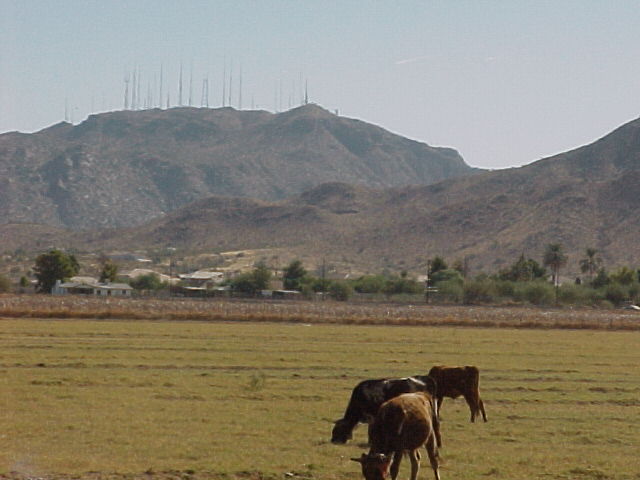
Mt Lemon is in the foreground. I know this stretch of road and now I have about 3o miles or more to ride back home. But what I forgot is that from here I have about another 8 mile climb--then a fast three mile down-hill to Hwy 77, which is Oracle Rd. Its windy and I'm pretty tired. Oh, and I've been fighting leg cramps--but I know I'll have a break going down to Rancho Vistoso, where I can ride faster...


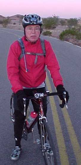
When you start late, you race the sun...

I'm glad I did this ride. I started too late in the morning--almost Noon, and rode thru the hottest part of the day. Luckily I brought my lights along just to be on the safe side. I'm also glad I did this ride in a clock-wise direction, other than counter-clockwise.

See, I picked up this supersticious thing about direction for the Lakota up in South Dakota. Everything is in a clockwise direction--that is the way the Earth is, and if you go counter-clock wise, it is bad luck. So even though I was never sure where Park Line Rd started from on the West side--and I knew where I would come out on the East side--it was still best for me to ride in a clockwise direction. Still a good choice because the 22 miles to the start from my house was all down-hill and I had the wind pushing me on the fronage road. Gentle Reader, too many times I have had to ride in the head wind on the I-10 frontage, and I must tell you it is relentless. Then I would have to have done a 8 mile climb up Tangerine Rd to my house. Again, this is a brutal climb after 50 or 60 miles on your legs with the headwind.

I did have the headwind going home, but again, I was going downhill and that gave me my chance to recover from all the climbing on the sandy dirt road of Park Line, and the next climb after that to Oracle.

In Rancho Vistoso, I had a flat, and that slowed my momentum a little--so I was pushing 5pm on the last five miles of my trip home.

Bike computer read 75.5 miles. A bit of a long ride for not have been in saddle for a few weeks. Maybe it was a little too long because I'm still a little sore--and the last few days I've felt a cold coming on. But I cooked steaks for us all and was able to go to bed by 9:30 that evening. O! that bed was so soft and warm!

Oh yeah, I took my arm warmers but some how I dropped them--so I paid a price to go to the other side of the mountain--to see those views and the great owl head, and the saguaro as far as you can see. Cool.


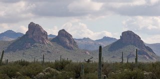
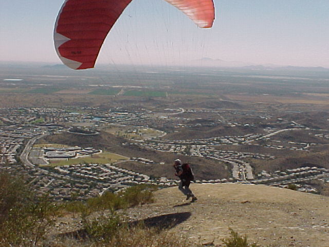
I got this picture from the web--the only one I could find in Google images. If you click on it you can see more detail in this great photo. The photographer has hiked in several more miles...

Well, back to the commutes for a time!

Merry Christmas and Happy New Year!

Saturday, December 10, 2005

There Goes the Neighborhood

I have heard that none-other than Scientologist and mediocre film actor John Travolta has been responsible for inflicting the pristine Tortalita Mountains with the abomination pictured below--which can be seen for miles in ever direction. What the fuck, Johnny Baby?


I took action, and recorded on film my solution to this blight!


Greetings from Friends of the Pygmy Owl, John !!!


The Mountain Restored! Now my furry and feathered and slithery friends can live in Peace!

Long Live the Randonneur!

Dove Mountain Days


I took an early solitary ride up into Dove Mountain, mes amis. The morning was crisp as I spun into the hills among the cacti. The mountain was sleepy-- only song birds stirring--darting about my head as I made the climb.


Bikes in the garage ready to go--no excuses for staying in bed this morning.


Leaving behind the developments.


A side road to a scenic spot.


Sun is coming out.


These mountain are rugged and scorching, even in the winter.


A few more miles up the road, and the cactus abound.


You can hear song birds everywhere. I often see deer crossing the road up here too. Since the road dead-ends for now, there's no traffic.


Nearing Owl Head Canyon


Owl Head Canyon Summit


End of the paved road behind me. I've ridden up further about three more miles on the road bike, but not this morning--the sun is out but there is a chill in the wind.


View South down into Old Mexico...


Got this putting the camera back in my pocket...


Looking South East and going home--Pusch Ridge to the right.

This was fun and it has been awhile since I made this 5 mile climb up into the Tortilita Mountains on Dove Mtn Blvd. Usually its pretty tough and I start sweating half-way up. I am happy to report that I felt strong and the climb seemed effortless--but this morning it was only about 45 degrees instead of 90 or 100. I suppose that would make a difference n'est ce pas?

Allure Libere!

Tuesday, December 06, 2005

Oh, I'm in Hawaii


Not really, but I wish I was. I haven't been on the bike. Its cold out--like 30 degrees. This is just for a week or so then things are back to normal. Being cold sucks--and when it gets cold, old injuries ache. The broken shoulder starts to hurt a lot. Basically the left side of my upper body hurts--the side that got busted up. And the whip-lash in the lower back flares up.

See I traded in my horses for bikes--yeah, I have broken stuff riding the bike, but I almost myself killed riding horses. I was younger then... Riding horses through the woods and mud and snow is kind of like mountain biking--its just a rush! I wish a few times I would have worn a helmet when I was riding Saladan, my big Polish Arabian--he could haul ass! And it would have saved the bit o' plastic surgery on my eye brow and cheek bone--not noticable now of course.

The horse riding accidents were just that--accidents. Sometimes me not paying attention. Horse slips in mud, you lose your balance and fall and break your collar bone--a rib or two.

When I met Bev, I discovered that she could ride pretty good. But she didn't go for the mud, sweat, flies, shit, the smells, and all that glorious filth that goes along with horses.

Sometimes when I ride home in the evenings, I pass the stables, and that familar dusty smell is hanging around as the young girls take their riding lessons.

Gosh, I'm getting all sentimental--I miss Saladan. A good horse. A big horse for a big guy like me. He never complained and always enjoyed being out and about. When I would show up at Old Joe Mellette's farm where I boarded him, he would come running up from the pasture and meet me, eager to go!

Allure Libre!

Tuesday, November 22, 2005

To the Top of South Mountain

This weekend, I traveled up to Scottsdale to see Steve and Kim. Steve and I did his century training course around South Mountain, but this time we climbed the 8 mile scenic road to the summit of South Mountain, and where the TV towers reside.

I must tell you, Gentle Reader, that 5:30 a.m Scottsdale was 41 degrees. It felt much colder! At dinner that evening, I thought of suggesting to Steve we sleep in--but to climb South Mtn and be back, we'd have to leave saddle up early!


The Superstitions to the east of us--just at sun up.


Papago Park at 6:30 a.m. Steve always enjoys it when I say I want to stop for a photo op--and its freezing!


Sun is up and its still cold--how much longer until breakfast? Oh yeah, the pictures of the rock formations didn't come out very good--oh well...


I-Hop. We've ridden about 35 miles down into Tempe thru the ASU campus. Its about 7 a.m. and still pretty dang cold. Service was kind of slow this morning, and we ended up being there about 45 minutes instead of our usual 25. That's okay--I needed to warm up and wake up--the next leg of our journey is going to take us South and then West to the Gila River Indian Reservation.


We're on the Maricopa Hwy heading West, and we're South of the Mtn. As I drove in Friday night to Scottsdale, I could see the TV tower lights on top of South Mtn.


Here are the mountains on the Rez as we've been heading West. We've just turned North and have about 10 or 15 miles to the base of South Mtn.


Thru the pastoral cotton fields and ranches near the little town of Gaudalupe, AZ. Kind of a quaint area--seems pretty friendly, and has a flavor of Mexico.


Steve and I stop at Circle K to shed our arm and leg warmers. I snapped this right before we're about to enter the State Park.


Starting up Summit Road. The pavement is brand new and traffic is light. About 7.5 miles to go, mes amis!


Phoenix to the North as we start the climb... As we near the top and the last two miles, the gate was closed and a sign said there was a special event going on. Bummer--just two more miles. But then some parasailing guys drove up and let us in--sweet!


We made it to the top.

It was like we had the whole place to ourselves. From here we could see most of our route, which is about a 116 mile loop.


Parasailing on the top. These fellows run of the cliff--

We couldn't see where they were landing exactly, but the other guys would start down the road to fetch them--then they'd drive back up and jump off again. Looked very dangerous, and you would not want to crash on the side of the mountain--the rocks are sharp and I'm sure the cactus would be unforgiving.


A quick photo op at the old Ranger Station. Steve's pretty happy with his new bike--
on to lunch!


Lunch in Paradise Valley at Steve's favorite sandwhich shop. Steve and the owner are friends. Its a good stop and a good place to fill up with water and ice. I like their pastromi sandwhich best...


Paradise Valley and Scottsdale--what used to be farms and orange groves--now swank digs for the rich.


Scottsdale bike lane. Stay in the bike lane or get run over by a Jag!


In the heart of Scottsdale. This here's Camelback Peak ya'll--talkin high dollar spreads now.

Well, what can I say? Except for freezing our asses off in the wee hours of the morning--this was a great ride, and a good time. The weather was perfect, and we rode without any problems.
Drank a few beers at Steve's house, took a shower and took a nap for about 30 minutes--so I wouldn't fall asleep on the drive back to Tucson.

Allure Libre!